Sky’s the limit for aerial mapping firm
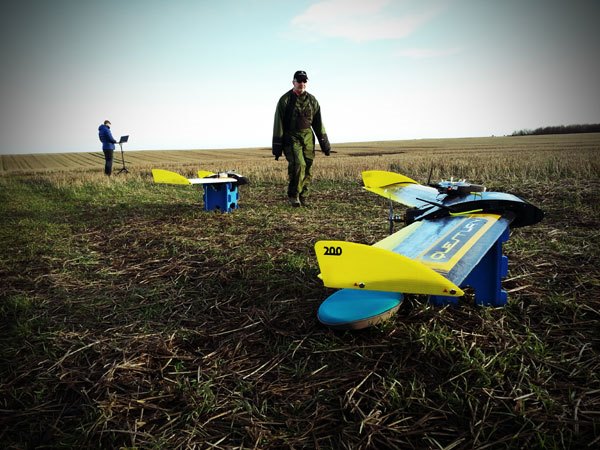
The unmanned drones can take high quality aerial photographs
QuestUAV is based in Amble’s Enterprise Park and manufactures Unmanned Airborne Vehicles (UAVs) with onboard high tech cameras. Photographs taken by the cameras are passed through specialist aerial mapping software to produce incredibly detailed 3d maps of the landscape.
The technology is used for surveying agriculture, forestry and – who knows, may even be able to photograph the green shoots of recovery, if its own fortunes are anything to go by.
QuestUAV’s managing director Nigel King told The Ambler about the soaraway success of the business.
“We started with a small unit on the Enterprise Park, but we had to move into a larger unit. We’ve grown so fast we’ve had to take on an adjacent unit as well. At the moment we have 12 staff, and there are plans to take on more people in the near future.”
With five years’ reasearch and development in manufacturing UAVs, the team are now developing more specialist products. Their latest innovation is ‘Q-Pods’ which allow the UAVs to be fitted with different imaging technologies, making them a modular and therefore more versatile product.
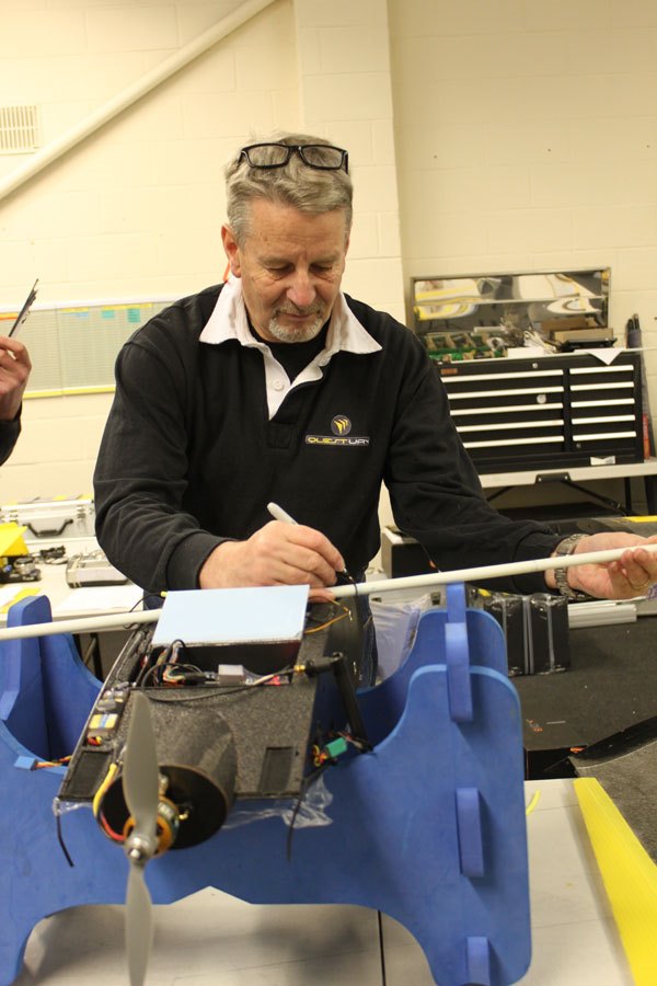
Nigel King
“We’re becoming more niche” said Nigel. “Our aim, by the end of 2014 is for our productivity to be up by 500%. We have a global market now, people purchase UAVs from us to do a variety of different jobs, from surveying, to mining research, to earthquake monitoring.”
Their customers include universities and organisations throughout the world.
“The future looks very bright for QuestUAV and Amble, with more jobs and larger premises on the horizon. It’s pretty cool to be able to run such a high tech business from the Friendliest Port!” said Nigel.